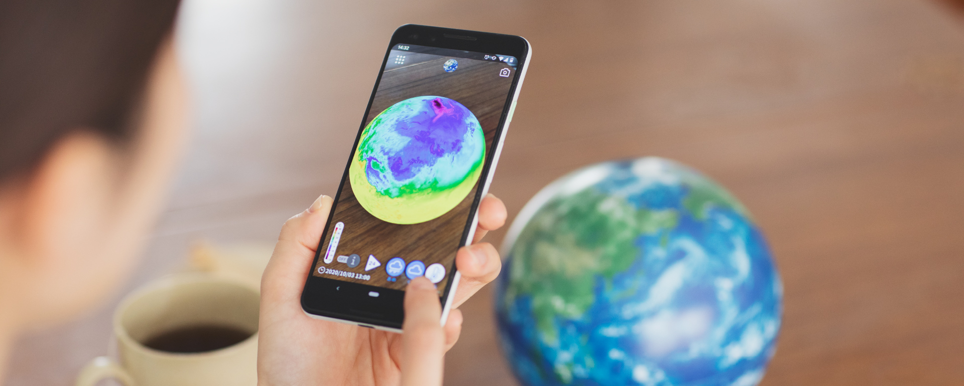

See the Earth's current status
When you view the Hobonichi Globe with a smartphone or tablet,
you can see the Earth's current status.
Data on changes in clouds, rain, and temperature is automatically
updated in real time very hour.
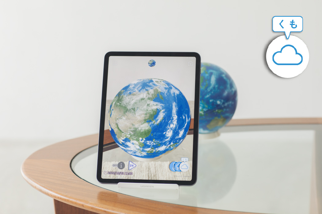
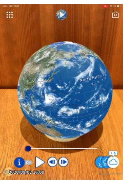
Clouds
Shows the clouds over Earth in real time.Data is based on infrared imagery from geostationary and orbiting satellites. The clouds you see are based on composite data from up to 10 different weather satellites. Data updates automatically every hour. *Data courtesy of Custom Weather
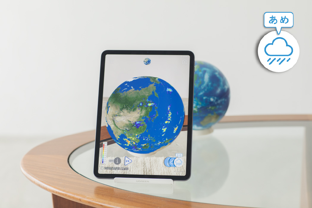
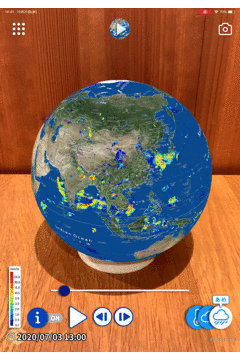
Rain
Shows the rainfall on Earth in real time.Provided by Global Satellite Mapping of Precipitation "GSMaP" (JAXA) for viewing on the Hobonichi Globe. Get a direct look across borders at meteorological phenomena like tropical cyclones and seasonal rain fronts. Data updates automatically every hour. *Data provided by Global Satellite Mapping of Precipitation "GSMaP" (JAXA) *Displayed range extends from 60 degrees north latitude to 60 degrees south latitude
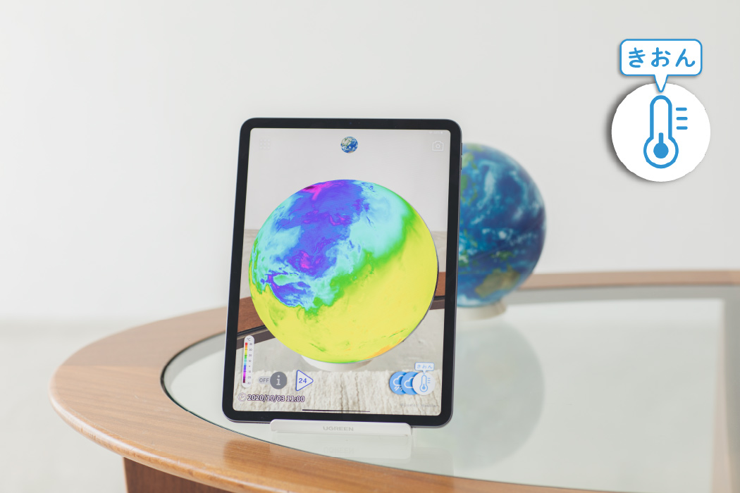
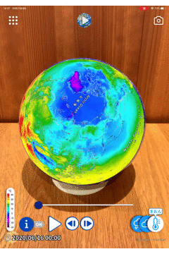
Temperature
Shows the temperatures on the Earth's surface in real time. The global temperature map is made from a composite of observational data from meteorological stations around the world, global forecast models, and analyzed satellite data, then adjusted for elevation. Data updates automatically every hour. *Data courtesy of Custom Weather
View "Earth This Week"
"Earth This Week," part of the free content in the app, allows you to review data on clouds, rain, and temperature over the past week. You can advance the footage frame by frame or use the slider to move back and forth.
-
Clouds
-
Rain
-
Temperature