
The creation of
the Hobonichi Globe
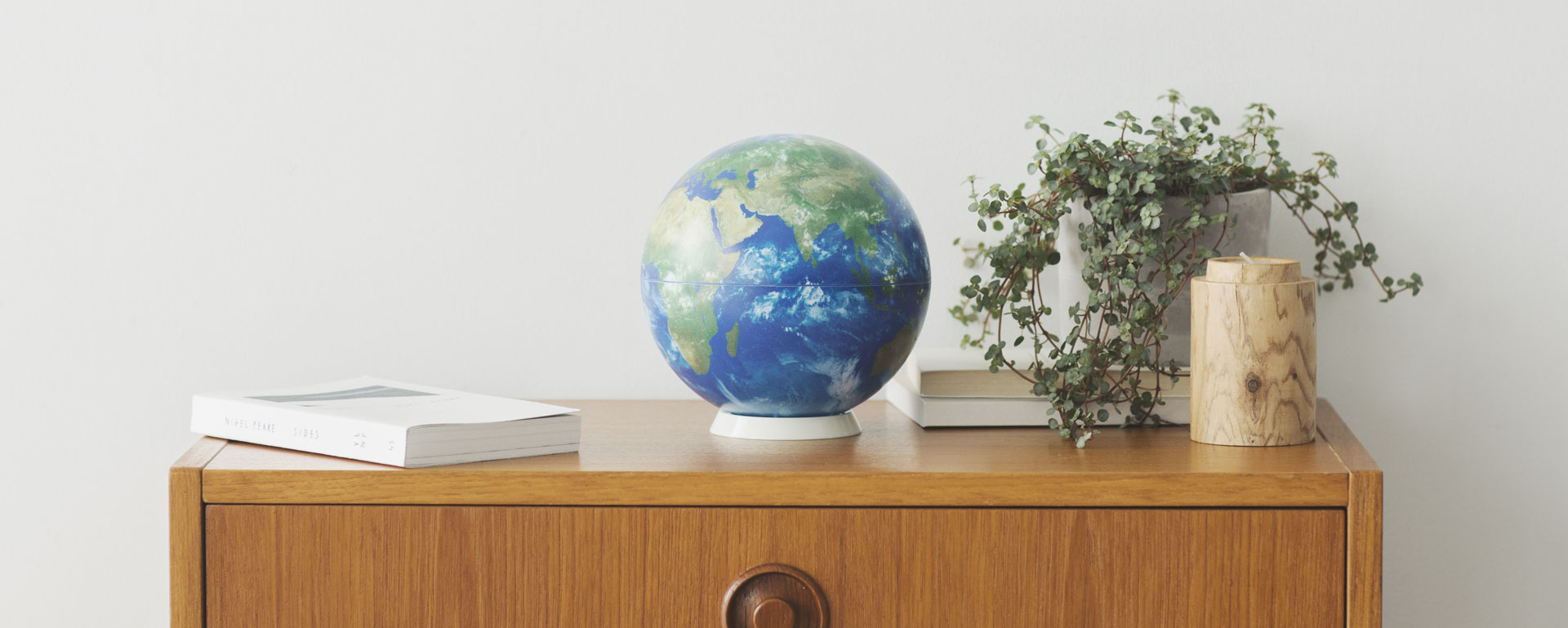
The Hobonichi Globe is packed with
a lot of new technology and ideas.
Meet six people who were essential to
the Hobonichi Globe's creation and
read the story of how it was developed.
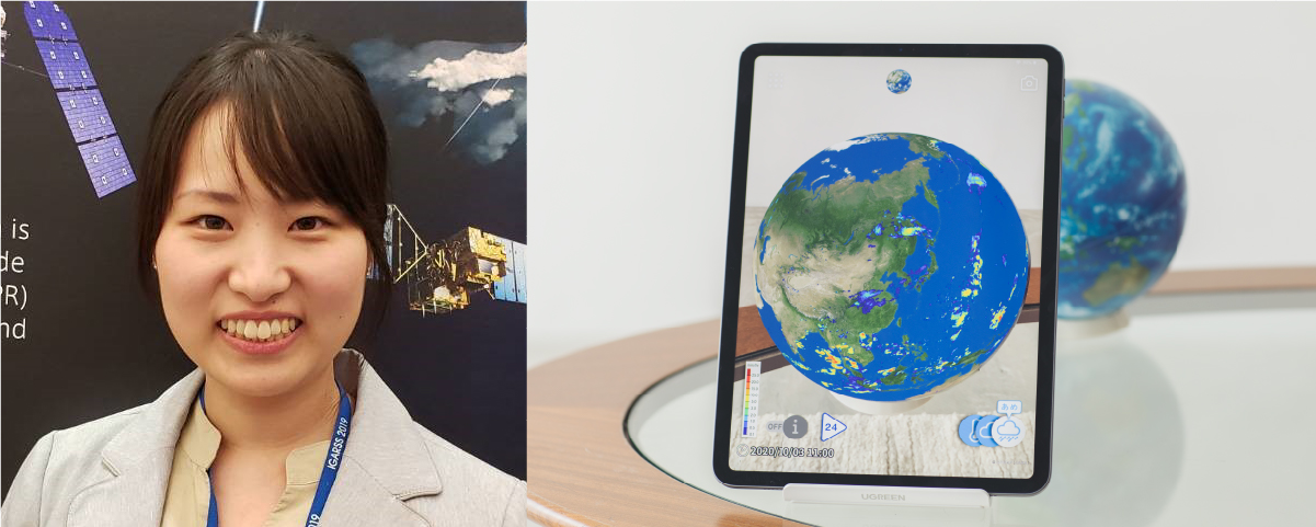
We gather global satellite info to
make a worldwide rainfall map
Moeka SanchiJAXA
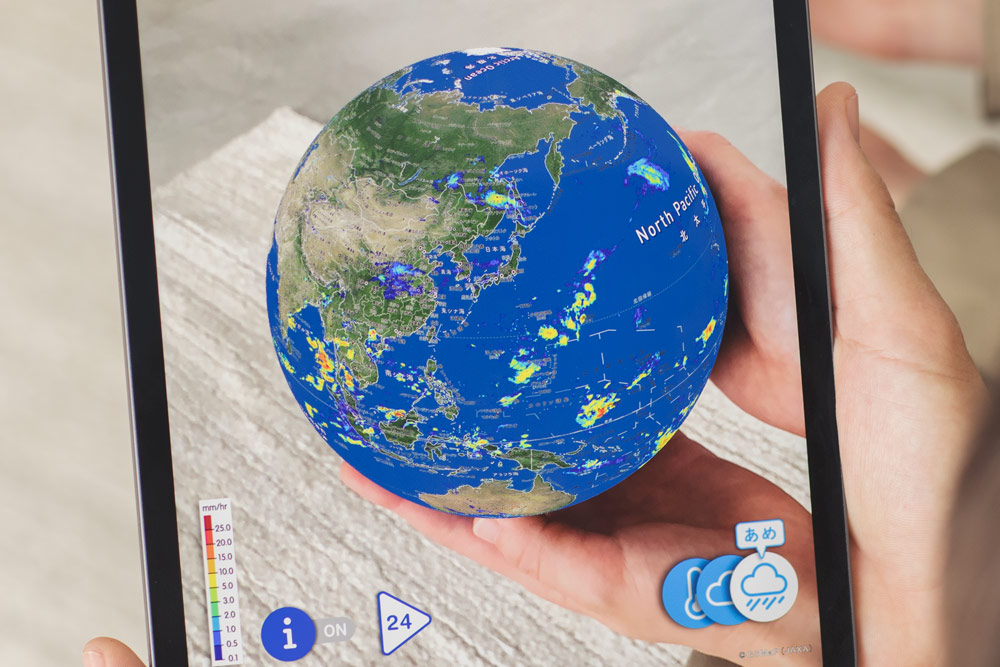
Global Satellite Mapping of Precipitation (GSMaP)
The GSMaP provided by JAXA is a real-time global rain map.
JAXA's Earth Observation Research Center (EORC) assembles data from different countries' satellites to release worldwide rain data.
GSMaP is also available on the JAXA website, so anybody can view it for free.
The data was made public in November 2007 and has undergone daily improvements since.
The information on actual rainfall we're all used to viewing is obtained from instruments installed on ground level.
GSMaP references this data, but it's primarily based on satellite data.
GSMaP even gives us a view of rainfall out on the ocean, where there are no rain gauges.
A popular rainfall map in Asia
JAXA's GSMaP has a global base of users from a wide range of fields.
Weather agencies outside of Japan also use GSMaP, and disaster agencies use it for flood analysis. GSMaP also assists with water resource management, agriculture, education, and more. It is a tool with a variety of uses.
A look at GSMaP user traits shows that one-third of them are in Asia.
Asia is a region with particular rainfall patterns due to the monsoon.
Furthermore, when a typhoon comes from the ocean, gathering data out on the seas becomes quite a challenge. This is why countries like Vietnam, the Philippines, and Indonesia reference GSMaP data for their weather forecasts.
JAXA collaborates with these Asian countries to compare GSMaP data with observations on the ground and determine where GSMaP was accurate and where it could have been better.
As we accumulate this information, we conduct research to raise accuracy and build a system that's easier to use.
Raising awareness about disaster readiness
We've had global rain data since a long time ago, but it's only recently that it's become so detailed.
Worldwide rain data from years ago was based on 250-km grids.
Over time, performance has improved, and now GSMaP gives us data in 10-km grids.
Research is currently underway to put out data with yet greater resolution.
The Hobonichi Globe uses AR so you can see GSMaP on a spherical representation of the Earth.
GSMaP data has never been provided with such an accessible, easy-to-use tool.
I hope many Hobonichi Globe owners, not just those who are into meteorology, will use this GSMaP data and take an interest in the varying rainfall patterns in different regions of the Earth.
Recently, typhoons have inflicted increasing damage. This and other effects of climate change have raised awareness about readiness against torrential rain in Japan and elsewhere.
It will be hugely fulfilling for us if we can contribute in any way to that awareness through the Hobonichi Globe.